What’s more difficult to see…

…than a Trimerotropis latifasciata (broad-banded grasshopper) adult on lichen-encrusted clay exposures?


Answer: A T. latifasciata nymph on lichen-encrusted clay exposures.


My thanks to David J. Ferguson for confirming my initial ID as a species of Trimerotropis and provisionally placing these individuals as T. latifasciata.  Of course, I’m not at all an expert in grasshopper identification, but I recognized these individuals, found atop the red, flat-topped mesa of Gloss Mountain State Park in northwestern Oklahoma, for their great similarity to T. saxatilis (lichen grasshopper), a striking, more greenish species (at least here in Missouri) that I had hoped to but did not see during my visit to Lichen Glade Natural Area back in late May (it may have been too early in the season for them).  At first I thought these individuals might represent that species, considering the abundance of lichens that encrusted the clay exposures atop the mesa.  However, according to David the red hind tibia (seen in the photo below of a different adult – sans left front leg), longer wings, occurrence on clay (rather than rock or sand), and location in the Great Plains make T. latifasciata the most tenable choice.

Like T. saxatilis and other species of the genus, T. latifasciata provides a marvelous example of the use of camouflage (i.e., blending in with surroundings) – a form of crypsis – to avoid detection by predators.  Finding this species only strengthens my desire to find (and photograph) T. saxatilis – speckled green, white and black – amidst the green lichens that encrust the red igneous outcroppings of the St. Francois Mountains some 100 miles south of St. Louis.

Photo Details: Canon 50D w/ 100mm macro lens, (ISO 100, 1/250 sec, f/18-20, Canon MT-24EX flash (1/4 ratio) w/ Sto-Fen diffusers, and typical post-processing (levels, minor cropping, unsharp mask).

Copyright © Ted C. MacRae 2010

Add to FacebookAdd to DiggAdd to Del.icio.usAdd to StumbleuponAdd to RedditAdd to BlinklistAdd to TwitterAdd to TechnoratiAdd to Yahoo BuzzAdd to Newsvine

Email to a friend

The joys of ecological restoration

Indian paintbrush and lousewort now dominate patches of SNR

I moved to Missouri in the summer of 1988, having experienced 8 years of generous support of my family’s livelihood by my research on the infamous imported fire ants of the US Southeast, and their relatives in South America. When I arrived in the Midwest, I  hoped to land a job as an insect taxonomist in a university or museum, a goal of mine since before entering college. But this dream was one that even before moving to Missouri was dimming, and then receded ever further from the realm of possibility for me (and for traditionally trained taxonomists, generally), once here. So, I began to re-think what I might do with my work life. It would be something, I hoped, that would make some use of all the course work (mostly in entomology and botany) and research (on ant systematics) I had done during my 24 years (!) of getting educated and four additional years as a post-doc. As or more important, whatever job I ended up in would somehow have to allow me to share my life-long love of nature with others.

A museum drawer of ant specimens mounted for taxonomic study, the ants no doubt frustrated by the years of inattention they have received as I have tended to the duties of my day job.

Early in my residence in eastern Missouri, I made the acquaintance of the naturalist at a 2500-acre (1000-hectare) nature reserve outside of St. Louis. Shaw Arboretum, as it was then known, is country cousin to the world-renowned Missouri Botanical Garden, and is named after the Garden’s founder Henry Shaw. Long story short, in the summer of 1990 the naturalist mentioned to me that he would soon retire, the position would become available, and that I ought to apply. So I applied, and was hired as the arboretum’s naturalist in January 1991.

A dolomite glade plant endemic to a few counties in eastern Missouri, this leatherflower was established at SNR in the 1930s, but expanded exponentially after prescribed fire was introduced in the 1990s. Here, an ant characteristic of glades and dry prairies forages on the flower.

When I came on board, the “Arboretum” had mostly ceased to be an arboretum (a formal collection of trees for display, breeding and research), and most folks seemed unable to either pronounce or define the word. Indeed we learned, through a public survey, that the strange name and the stone wall in the front actually dissuaded people unfamiliar with it from entering! Yes, there were a few patches of exotic trees scattered around the property, especially in the conifer collection near the front entrance know as the “Pinetum”, but ever since the Garden had decided around 1930 that it would not, afterall move all of its horticultural operations to this then very rural site (the original intent of its purchase), formal arboretum and botanical garden type activities had been few and far between, and the site began gradually reverting from abandoned farmland to a wilder sort of place, as well as a haven for native biota. Thus, on its 75th anniversary in the year 2000, Shaw Arboretum was renamed Shaw Nature Reserve.

Colony-founding queen bumblebees are the primary actors in loosening pollen with ultrasound from shootingstar anthers, and distributing it about the plant population.

Around that time, my title changed too, to “Restoration Biologist”. The job is multifaceted; presenting public programs and classes on various aspects of the site’s natural history, writing and reviewing articles, acting as liaison to the vigorous regional group of academic ecologists who use the site for research and teaching, a very intermittent personal research program on ants resulting in sporadic publications, and last but certainly not least, ecological restoration.

Ecological restoration, in the broad sense, consists of  two primary practices:

  • Restoration of a natural community to structure and species composition presumed characteristic of an  ;;earlier condition (however arbitrary or ill-defined).
  • Reconstruction of regional, native-like habitats, de novo, using locally acquired native plant propagules in the appropriate settings of soil, hydrology,  slope aspect and climate.

Both  require essentially perpetual, follow-up maintenance, including invasive species control, mowing, haying, grazing, selective timber removal, species richness enhancements, and prescribed burning. All of these have many variations and nuances in application, and there can be impassioned arguments about their implementation in the literature, at conferences, and in forums and blogs on ecological restoration, native plants, butterflies, beetles, etc..

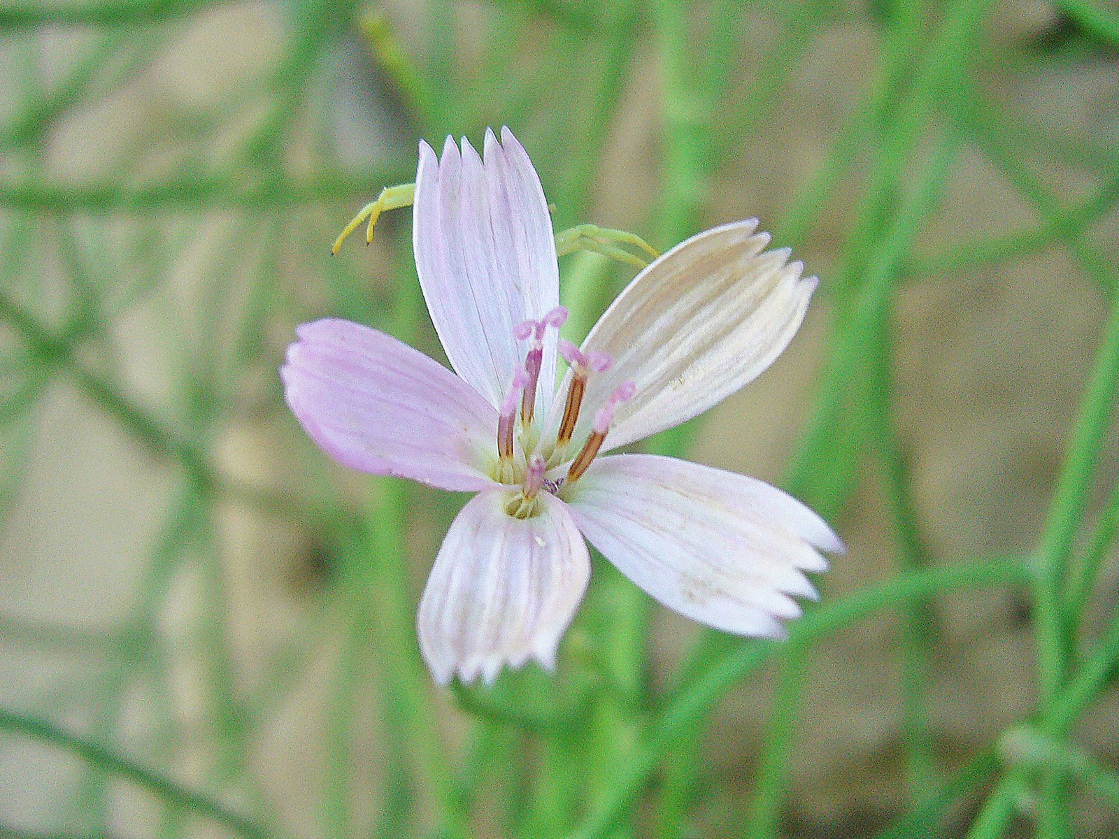
An ecologically conservative lily ally of undisturbed moist soil habitats now thrives in prairie plantings at the Reserve.

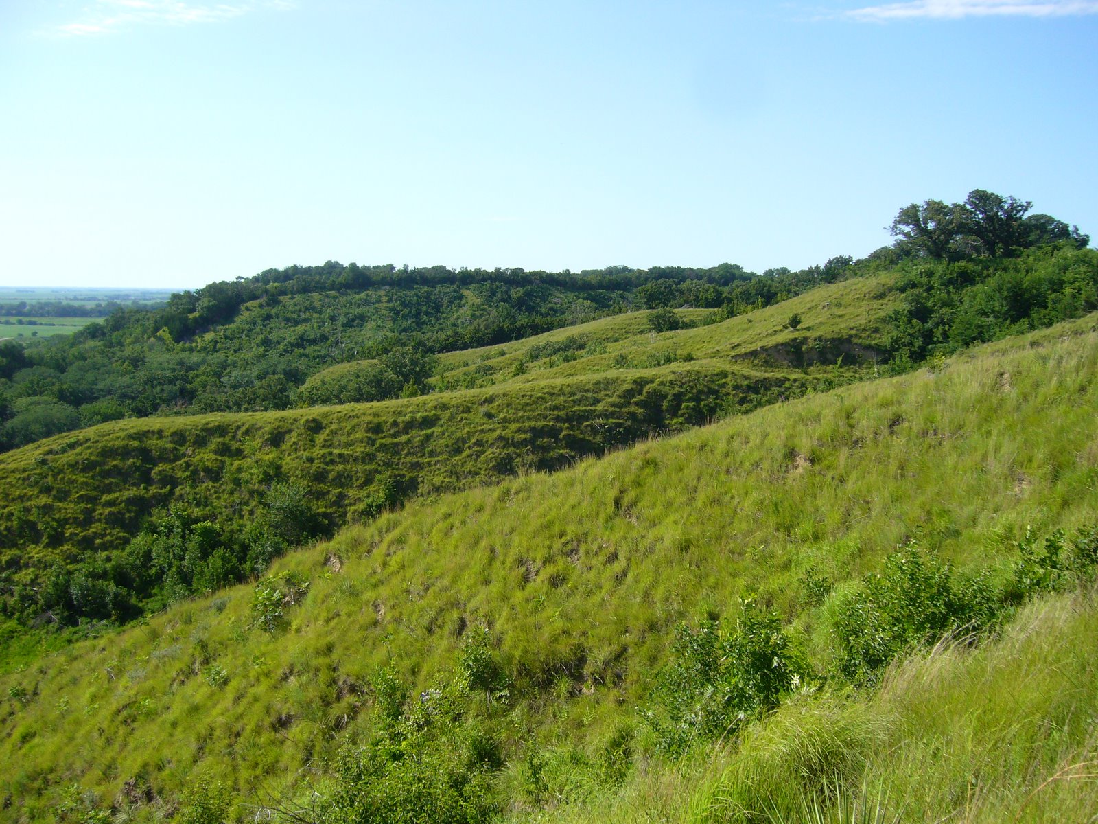
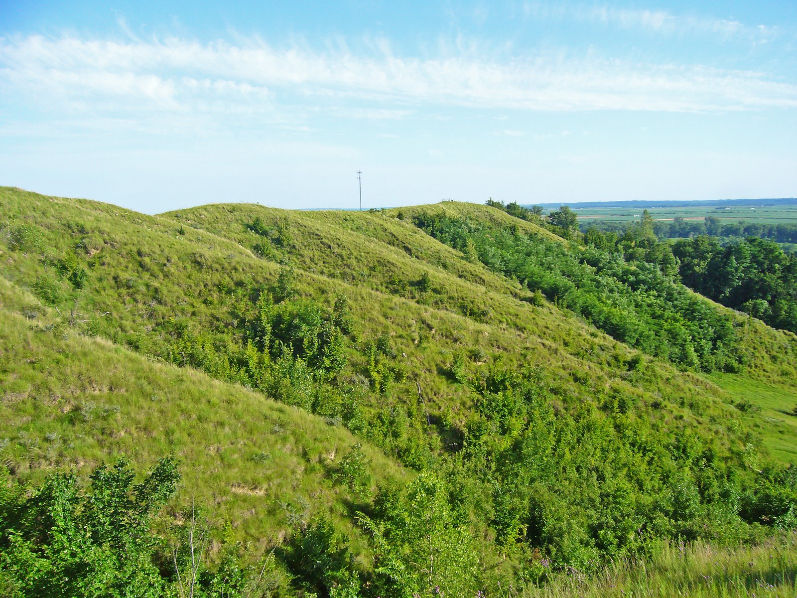
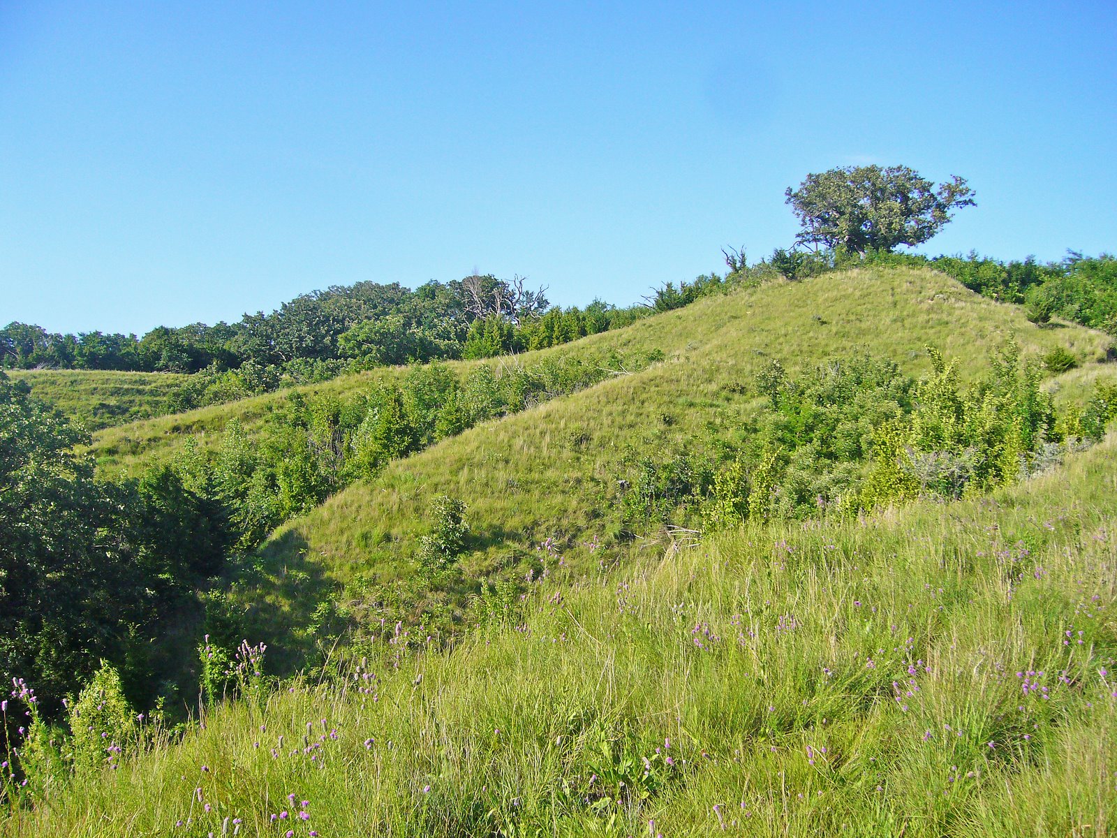
Attitudes about ecological restoration vary, among practitioners, among sociologists and philosophers, and in the general public. One broad attitudinal schism lies along the lines of  whether ecological restoration activities are some sort of primitivist, grand-scale gardening, or do they represent ecologically valid landscape conservation? Another question some pose is to what extent we should interfere with “natural successsion”? Be this as it may be, most people with functioning sensory perception agree the results can be very beautiful. The loveliness of the mosaic of colors in the herb layer of a spring woodland is inarguable, especially so after it has had its woody stem density reduced, and had the leaf litter burned off, to allow more light, rain and seeds to the soil surface — even where there is genuine concern about damage to invertebrate assemblages residing in forest duff. A waving meadow of grasses and flowers in a tallgrass prairie planting, intended to replace just a few of the tens of millions of acres of this ecosystem that have succumbed to the plow, has its own grand beauty, though its per-square-meter species density of plant species remains less than half that of a native prairie remnant and it is dominated mainly by habitat-generalist insect species rather than prairie specialists, even after 30 or more years.

A self-introduced grassland ant forages among a thriving, human-introduced population of this wet prairie gentian.

The smaller, daily rewards of restoration, to the practicing ecological restorationist and to those who visit his or her work, are many. Over 20 years, in the opened-up woods, restored glades and prairie and wetland plantings at SNR, I repeatedly have enjoyed the “sudden appearance” and increase in populations of ant species (of course) that I never observed during my early years of working at SNR (then scouring it for purposes of preparing an annotated ant list). The feeling I get upon discovering that a grouping of shooting star, royal catchfly, bunch flower or bottle gentian plants, are in bloom at a site where I spread their seeds five, seven, or even ten years earlier is a bit like that one feels when a child is born. The spontaneous colonization of SNR grassland plantings by prairie ragged orchid never fails to amaze me. Bird, or frog, or katydid and cricket songs in a former crop field or pasture, as the “restored” vegetation fills in and matures, is as pleasing to my ear as it is to my soul.

A few days ago (in early July), the director of the Reserve came to my office asking if I had noticed a purply pink, “possibly orchid” flower growing on a section of a berm (planted with native vegetation) in our 32-acre wetland complex. I had not been in the area recently, but headed right out to see what it was. Joyously, and not a little surprised, I learned that seeds of the purple fringeless orchid, sowed at a location nearby 17 years previously, had washed to this site, taken root, and as terrestrial orchids are wont to do, flowered after so many years!

The black-legged greater meadow katydid thrives in low areas and near bodies of water in SNR

The prairie ragged orchid began to appear in old fields and prairie plantings where prescribed burning occurs at SNR. It has not been seen in fields maintained exclusively by mowing or haying.

The purple fringeless orchid surprised the restorationist and St. Louis area botanists by flowering in the SNR wetland area 17 years after the original sowing.

Copyright © James Trager 2010

Add to FacebookAdd to DiggAdd to Del.icio.usAdd to StumbleuponAdd to RedditAdd to BlinklistAdd to TwitterAdd to TechnoratiAdd to Yahoo BuzzAdd to Newsvine

Email to a friend

Long Weekend Bug Collecting Trip!

On Saturday, I’ll be joining a number of other Missouri biologists as a Group Leader for a BioBlitz at Penn-Sylvania Prairie (“C” on the map above).  Penn-Sylvania Prairie is a 160-acre tract of native tallgrass prairie in southwestern Missouri owned by the Missouri Prairie Foundation. I’ll be leading the “Beetles” group (of course), and as far as I can tell there has been little to no work done to survey beetles in this prairie.  Late May is an awesome time to look for beetles in southwestern Missouri, and with the forecast calling for sunny skies with highs in the mid-80’s, what better opportunity to add an extra day to an already long holiday weekend and do a…

Long Weekend Bug Collecting Trip!

The BioBlitz is not until Saturday afternoon, so I’ve padded the itinerary with a few nearby southwestern Missouri spots that I’ve wanted to visit for some time now.  The first stop will be Ha Ha Tonka State Park (“B”) and its mosaic of dolomite glades and post oak savanna.  My interest in this area stems from two jewel beetle specimens collected there by a student at the University of Missouri, who gave them to me for identification.  These two specimens caused a stir when I first saw them, as I could not definitely ID them – they resembled Agrilus impexus, a common inhabitant of the desert southwest and Mexico, but they were much larger and, of course, were found in Missouri.  These specimens played a key role in clearing up a case of taxonomic confusion on the identity of Agrilus impexus when I sent them to U.S. Agrilus-guru Henry Hespenheide.  Through comparison with type specimens, he determined that these were among a smattering of specimens collected across the Great Plains that represent the true A. impexus, while the common southwestern U.S. species to which the name had long been applied was actually an undescribed species.  He described the latter as Agrilus paraimpexus (Hespenheide 2007), and the true A. impexus remains rare and little known.  Obviously, my two specimens are the only ones known from Missouri, and indeed only one other specimen of this species has been collected in the past 60 years!  I know that makes finding it a long shot, but the student who collected them told me he swept them from woody vegetation along the edge of a glade at Ha Ha Tonka Savanna Natural Area.  I suspect they may be associated with honey locust (Gleditsia triacanthos), thus, I will have my beating sheet and will be beating lots of honey locust on Friday – wish me luck!

On Sunday, I’ll work my way slightly northeast to some of the sandstone glades that are found in St. Clair Co. where the Osage Plains to the west transition into the Ozark Highlands to the east.  The two most interesting of these are Lichen Glade Natural Area (“D”) and Dave Rock Natural Area (“E”).  Here, sandstone glades and bluffs are surrounded by dry and dry mesic sandstone woodlands dominated by post oak (Quercus stellata) and blackjack oak (Quercus marilandica).  Many years ago, I beat a single specimen of Agrilus frosti off of post oak at Lichen Glade.  I have not collected the species since, and I know of only one other Missouri specimen collected by state agriculture personnel in a malaise trap in central Missouri.  I also hope to photograph the lichen grasshopper (Trimerotropis saxatilis), which I have seen commonly at both of these sites.  This Great Plains species is at its eastern limit of distribution in Missouri, occurring exclusively on sandstone and igneous glades where its cryptic coloration makes it nearly invisible against the acidic, lichen-covered rocks that dominate these habitats.

Otherwise, I have no specific goals for the trip, but as late May is prime time in this area for jewel beetles, I’ll be doing lots of general beating on the oaks and hickories that many species in this family favor as hosts for larval development.

REFERENCE:

Hespenheide, H. A.  2007. The identity of Agrilus impexus Horn, a new species, and taxonomic notes and records for other Agrilus Curtis species (Coleoptera: Buprestidae).  Zootaxa 1617:57–66.

Add to FacebookAdd to DiggAdd to Del.icio.usAdd to StumbleuponAdd to RedditAdd to BlinklistAdd to TwitterAdd to TechnoratiAdd to Yahoo BuzzAdd to Newsvine

Email to a friend

Tuesday Teaser


A recent post by Art Evans at What’s Bugging You reminded me about this photograph that I took some 10 years ago.  This will likely be a difficult challenge, but I’m willing to entertain guesses about its identity and where I found it.  For location, let’s just say I’ve featured quite a few insects from this place in past months – it might take a little digging to figure it out, so first correct answer is worth 4 points.  Knowing this will be key to figuring out its identity.  In that regard, order will be a gimme, so the first person who stumbles upon this will likely earn the measely 2 points available for correctly answering that question.  Family will be more difficult – 4 points if you score first on this one (hint – beware of recent taxonomic changes).  Genus will be a real, though not impossible challenge (in fact, necessary resources to determine this are available online) – a whopping 6 points await the first person to correctly identify that taxon.  Sadly, a definite species name won’t be possible (another clue?), but there is a short list of species that have been described from the general area, so bonus points are available for anyone willing to take on that challenge.  I have no additional pictures of this beast, so look for the answer as a comment to this post in a couple days or so.

Copyright © Ted C. MacRae 2010

Add to FacebookAdd to DiggAdd to Del.icio.usAdd to StumbleuponAdd to RedditAdd to BlinklistAdd to TwitterAdd to TechnoratiAdd to Yahoo BuzzAdd to Newsvine

Email to a friend

The Loess Hills in Missouri

The term Mountains in Miniature is the most expressive one to describe these bluffs. They have all the irregularity in shape, and in valleys that mountains have, they have no rocks and rarely timber. – Thaddeus Culbertson, missionary, 1852


One of the things I enjoy most about the natural history of Missouri is its diversity. Lying in the middle of the North American continent, it is here where the eastern deciduous forest yields to the western grasslands. Coinciding with this transition between two great biomes is a complex intersection of landforms – the northern plains, recently scoured by glaciers; the southeastern lowlands, where the great Mississippi River embayment reaches its northern extent; the Ozark Highlands, whose craggy old rocks comprise the only major landform elevation between the Appalachian and Rocky Mountains; and the eastern realm of the vast Great Plains. This nexus of east and west, of north and south, of lowlands and highlands, has given rise to a rich diversity of natural communities – 85 in all according to Paul Nelson (2005, Terrestrial Natural Communities of Missouri). Despite the overwhelming changes wrought upon Missouri’s landscape during the past 200 years, passable examples of most of these communities still exist in many parts of the state and provide a glimpse of Missouri’s rich natural heritage.

Last month I talked about the critically imperiled sand prairie community in extreme southeast Missouri. This month, we travel 500 miles to the distant northwestern corner of the state to visit another critically imperiled community – the dry loess prairie. These communities are confined to thin slivers of bluff top along the Missouri River in Atchison and Holt Counties. The bluffs on which they lie are themselves part of a unique landform called the Loess Hills. Like the sand prairies of the southeastern lowlands, this angular landscape owes its birth to the glacial advances of the Pleistocene epoch (2.5 million to 10,000 years ago), when streams of meltwater – swollen and heavily laden with finely ground sediments (i.e., glacial “flour”) – filled river valleys throughout the Midwest during Pleistocene summers. Brutal cold during winter reduced these flows to a trickle, allowing the prevailing westerly winds to pick up the sediments, left high and dry, and drop them on leeward upland surfaces across Iowa and northern Missouri. The thickest deposits occurred along the abrupt eastern border of the Missouri River valley – at least 60 feet deep, and in places up to 200 feet. Loess (pronounced “luss”) is a homogeneous, fine-grained, quartz silt – undisturbed it is highly cohesive and able to stand in near vertical bluffs. It is also extremely prone to erosion, and as a result for 10,000 years now the forces of water have reshaped the Loess Hills into the landform we see today. Loess itself is not rare – thick deposits can be found in many parts of the world and over thousands of square miles across the Midwest. It is here, however, along the western edge of Iowa and northern Missouri – and nowhere else in North America – where loess deposits are deep enough and extensive enough to obliterate any influence by the underlying bedrock and dictate the form of the landscape.

It is this form that makes the Loess Hills so unique. The depth of the soil, its cohesiveness, its natural tendency to slump on steep slopes and sheer in vertical planes, and the action of water over the past several millenia have created a landscape of narrow undulating ridges flanked by steep slopes and numerous side spurs, intricate drainages with sharply cut gullies, and long, narrow terraces called “catsteps” cutting across the steep upper hillsides. It’s a sharp, angular, corrugated landscape, stretching 200 miles north and south in a narrow band of varying width from north of Souix City, Iowa, to its southern terminus in northwestern Missouri. Its western boundary is sharply delimited by the Missouri River valley, where lateral erosion (now halted by channelization of the river) and vertical sheering have created precipitous bluff faces. The eastern boundary is harder to delimit and is dependent upon the thickness of the loess. Deposits that fall below 60 feet in depth are unable to mask and reshape the rolling terrain of the eroded glacial till lying beneath. In general, this happens at distances of only 3 to 10 miles from the western edge of the landform.

Its southern terminus in Missouri, however, is the most arbitrary boundary. Discontinuous patches of deep loess terrain do occur as far south as Kansas City, but the dry hilltop prairies, common in the north, are gradually replaced by woodland in the south and disappear completely just north of St. Joseph. It is this interdigitation of two great biomes – the great deciduous forest to the east, and the expansive grasslands stretching far to the west – that give the Loess Hills such a fascinating natural history. This is due as much to the physical character of the Loess Hills themselves as to their ecotonal position at the center of the continent. Rapid drainage of rainwater off the steep slopes combines with direct sun and prevailing southwesterly summer winds to create very dry conditions on hilltops and south and west facing slopes, especially on the steeper slopes along the landform’s western edge. Such xeric conditions favor the growth of more drought-tolerant species derived from the western grasslands. North and east facing slopes and valley floors, protected from direct sun and drying winds, are able to retain more moisture, favoring the growth of woody plant species more common in the eastern forests. Seasonal moisture also shows a north-south gradient, with southern latitudes receiving higher annual rainfall totals that also favors the growth of woody plants, while the lower rainfall totals further north result in larger, more expansive grassland habitats. The steep slopes and rapid drainage create much more xeric conditions than those found further south in the flat to rolling terrain of the unglaciated Osage Plain, resulting in a more drought-tolerant mixed-grass prairie rather than the tallgrass prairie of western and southwestern Missouri. The distribution patterns of prairie versus woodland are dynamic and ever-changing, influenced by both natural and anthropogenic processes. Climatic conditions over much of the Loess Hills are capable of supporting either community type, both of which repeatedly expand and shrink as the balance tips in favor of one versus the other. In the past, the major influence was shifting periods of greater or lesser rainfall. During drier periods, grasslands expanded and woodlands shrank, finding refuge in only the moistest streamside habitats. Wetter periods allowed woody plants to migrate out of the valleys and up the slopes, especially those facing north and east. One particular very dry “hypsithermal” began about 9,000 years ago and lasted for several thousand years. Tallgrass prairies expanded as far east as present day Ohio, and todays tallgrass praires in the eastern Great Plains were invaded by even more drought-tolerant species from the shortgrass prairies further west. Eventually the hypsithermal abated, moisture levels increased, and the grasslands retreated in the face of the advanding forest. Not all of the drought-tolerant species were driven back, however, and scattered populations of these “hypsithermal relicts” still remain on locally dry sites far to the east of their normal range of distribution. Conspicuous examples of such in Missouri’s Loess Hills are soapweed yucca (Yucca glauca var. glauca) and the leafless-appearing skeletonweed (Lygodesmia juncea) (plant above, flower right). Both of these plants are normally found further west in the mixed grass prairies of the western Great Plains but are considered endangered in Missouri due to the great rarity of the dry loess prairies on which their survival depends. (Incidentally, note the crab spider legs extending from behind the petals of the skeletonweed flower). In total, more than a dozen plant species occurring in Missouri’s dry loess prairies are listed as species of conservation concern, along with one reptile (Great Plains skink) and one mammal (Plains pocket mouse).

As is typical, the insect fauna of the Loess Hills has been far less studied than its plants, but many of the species that have been documented in its prairies also show affinity to the Great Plains fauna. Both soapweed and skeletonweed have insect associates that rely exclusively on these hosts for reproduction, and as a result they are also highly restricted in Missouri. Evidence of one of these – a tiny cynipid wasp (Anistrophus pisum) that forms small spherical galls on the stems of skeletonweed – can be seen in the photo above. However, my purpose for visiting the Loess Hills this summer was to look for the rare and possibly endangered tiger beetle, Cicindela celeripes (see this post). Cicindela celeripes has not yet been recorded from Missouri but is known to occur in the Loess Hills of southwestern Iowa, and while I have not succeeded in finding it (yet!) I did observe several adults of this unusual May beetle species, Phyllophaga lanceolata. This May beetle occurs throughout the Great Plains in shortgrass prairie communities. Larvae feed in the soil on roots of grasses and other plants, while adults feed above ground on flowers and foliage. The heavy-bodied adults are unusual in the genus due to their conspicuous covering of scales (most species of Phyllophaga are glabrous or with sparsely scattered and indistinct setae) and by being active during the day. They are also relatively poorer fliers and are thus usually observed moving about on foot – as seen with this individual who was found on bare soil below a vertical cut. This snakeweed grasshopper (Hesperotettix viridis, ID by Eric R. Eaton) is another species more typically seen in the western United States, although populations have been found from across the continent. Preferred host plants include a variety of asteraceous shrubs, but as suggested by the common name snakeweeds (Xanthocephalum spp.) are highly preferred and account for its greater abundance in the west. Populations in northern and eastern portions of its range, which would include northern Missouri, are considered subspecies pratensis, while the more southern and western populations are considered the nominotypical subspecies. Interestingly (and unlike many grasshoppers), this species is considered beneficial by ranchers, since the plants on which it prefers to feed are either poisonous to livestock or offer little nutritional value while competing with more desirable forage plants for soil moisture. While exploring the upper slopes, I encountered sporadic plants of two of Missouri’s more interesting species of milkweed – whorled milkweed (Asclepias verticillata) and green milkweed (Asclepias viridiflora), raising my hopes that I might encounter one of the many Great Plains species of milkweed beetles (genus Tetraopes). However, the only species I observed was the common milkweed beetle, Tetraopes tetrophthalmus, which occurs broadly across eastern North America on the equally broadly distributed common milkweed (Asclepias syriaca).

It is a familiar refrain, but Missouri’s dry loess hill prairie communities are critically endangered. Historically, these communities were probably never as well developed as those further north, and only a few small remnants remain today due to significant woody encroachment following decades of fire suppression. Much of this encroachment has occurred in the past 50 years – Heinman (Woody Plant Invasion of the Loess Hill Bluff Prairies. M. A. Thesis, University of Nebraska at Omaha, 1982) used aerial photographs to show a 66 percent encroachment of shrubs and trees into the loess hill mixed-grass prairies between 1940 and 1981. Additional threats include overgrazing, erosion, invasion by exotic plant species and homesite development. Fewer than 50 acres of native dry loess hill prairie remain in Missouri – only half of which are now in conservation ownership. The majority of these can be found at Star School Hill Praire and Brickyard Hill Conservation Areas in Atchison County and at McCormack Conservation Area just to the south in Holt County. Controlled burning and selective cutting are being used at these sites to control woody plant invasions, but even these management techniques present challenges. Spring burns have been shown to promote the growth of big bluestem (Andropogon gerardii), which could allow it to encroach drier areas where mid-grasses such as little bluestem (Schizachyrium scoparium) and sideoats grama (Bouteloua curtipendula) typically dominate (Rushin 2005). Increases in tall grasses could shade out and eliminate some of the rarer low-growing forbs such as downy painted cup (Castilleja sessiliflora), locoweed (Oxytropis lambertii) and low milkvetch (Astragalus lotiflorus). Fall or winter burns may be more beneficial to forbs because the plants are allowed to complete flowering and seed set, but the steep slopes on which these communities occur make erosion a potential concern. Clearly, all factors must be considered when designing management plans for this rare and significant slice of Missouri’s natural heritage.


In addition to the links and references provided above, I highly recommend Fragile Giants: A Natural History of the Loess Hills, by Cornelia F. Mutel (1989). All of the above photographs were taken at Star School Hill Prairie Conservation Area on July 12, 2008. Additional photographs of Loess Hill habitats in extreme southwestern Iowa appeared in my earlier post, The hunt for Cicindela celeripes. The plants shown in photographs 5-7 are purple praire clover (Dalea purpurea), white prairie clover (D. candida), and lead plant (Amorpha canescens), respectively. Lastly, I would like to apologize for the length of this post – a consequence of my inability to temper my utter fascination with the natural world and desire to understand the depths its connectedness.