Ozark Trail – upper Trace Creek Section

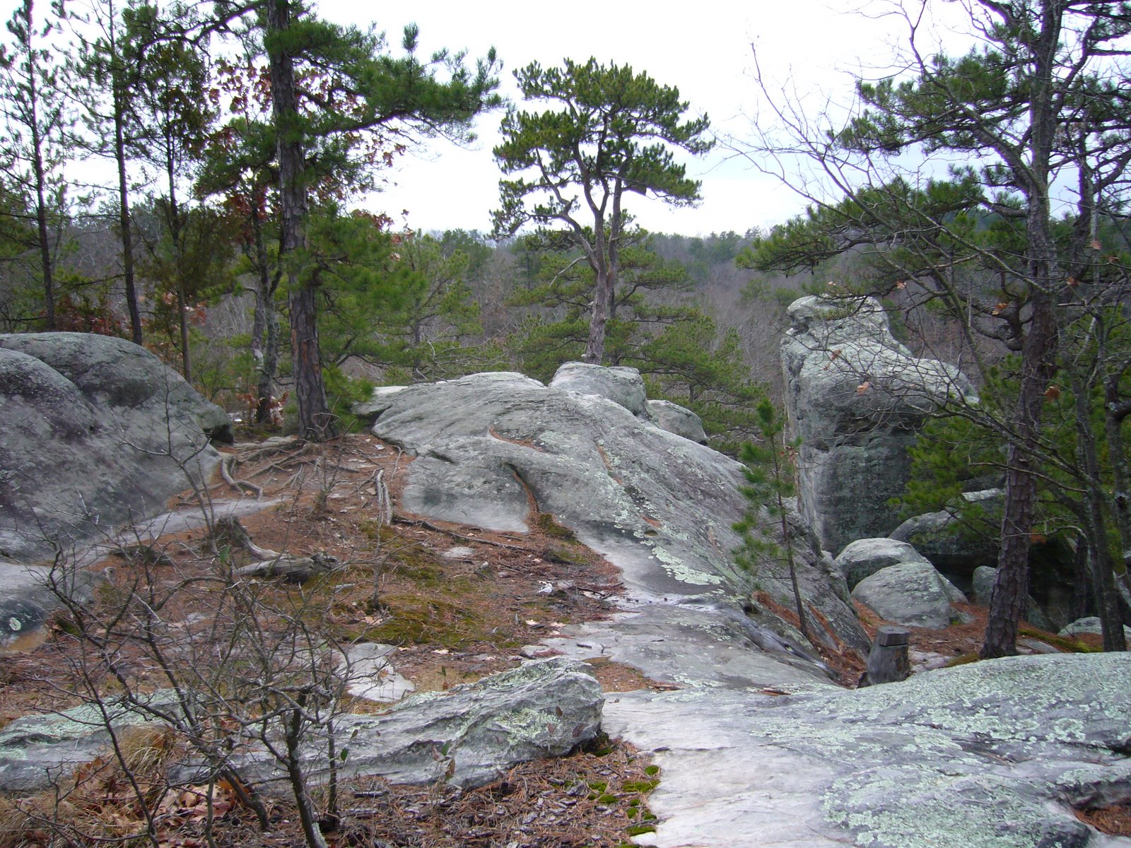
Last Saturday Rich and I finished the Trace Creek Section of the Ozark Trail by hiking the upper 12.5 miles of the section – from Hazel Creek to the Hwy DD crossing. Today was a special day for us – we would be completing our 200th mile of the Ozark Trail! Unfortunately, I came down with a cold the day before, making it somewhat difficult to fully enjoy that milestone. Nevertheless, it was a milestone that we’re quite proud of. Since we started hiking the Ozark Trail some 7 years ago, we’ve completed the Taum Sauk, Middle Fork, Blair Creek, Current River, Between The Rivers, Eleven Point, and – now – Trace Creek Sections. Of these, the Taum Sauk Section is unquestionably the finest, crossing the rugged granite outcroppings of the St. Francois Mountains, and the Eleven Point Section with its towering bluff top views is a close second. We still have much to see, however. Completed sections still awaiting us are the Karkaghne, Marble Creek, Wappapello, and Victory Sections, and the Coutois and North Fork Sections are nearing completion. By the time we complete these sections, I expect additional parts of the planned route will be constructed and ready for our enjoyment.

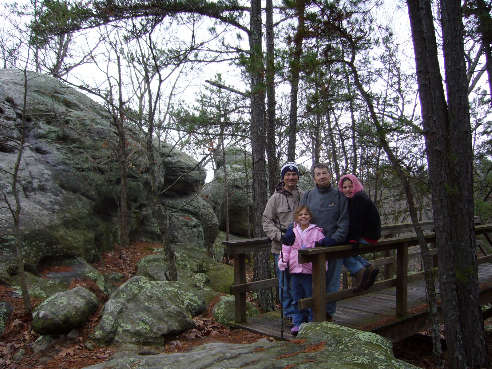
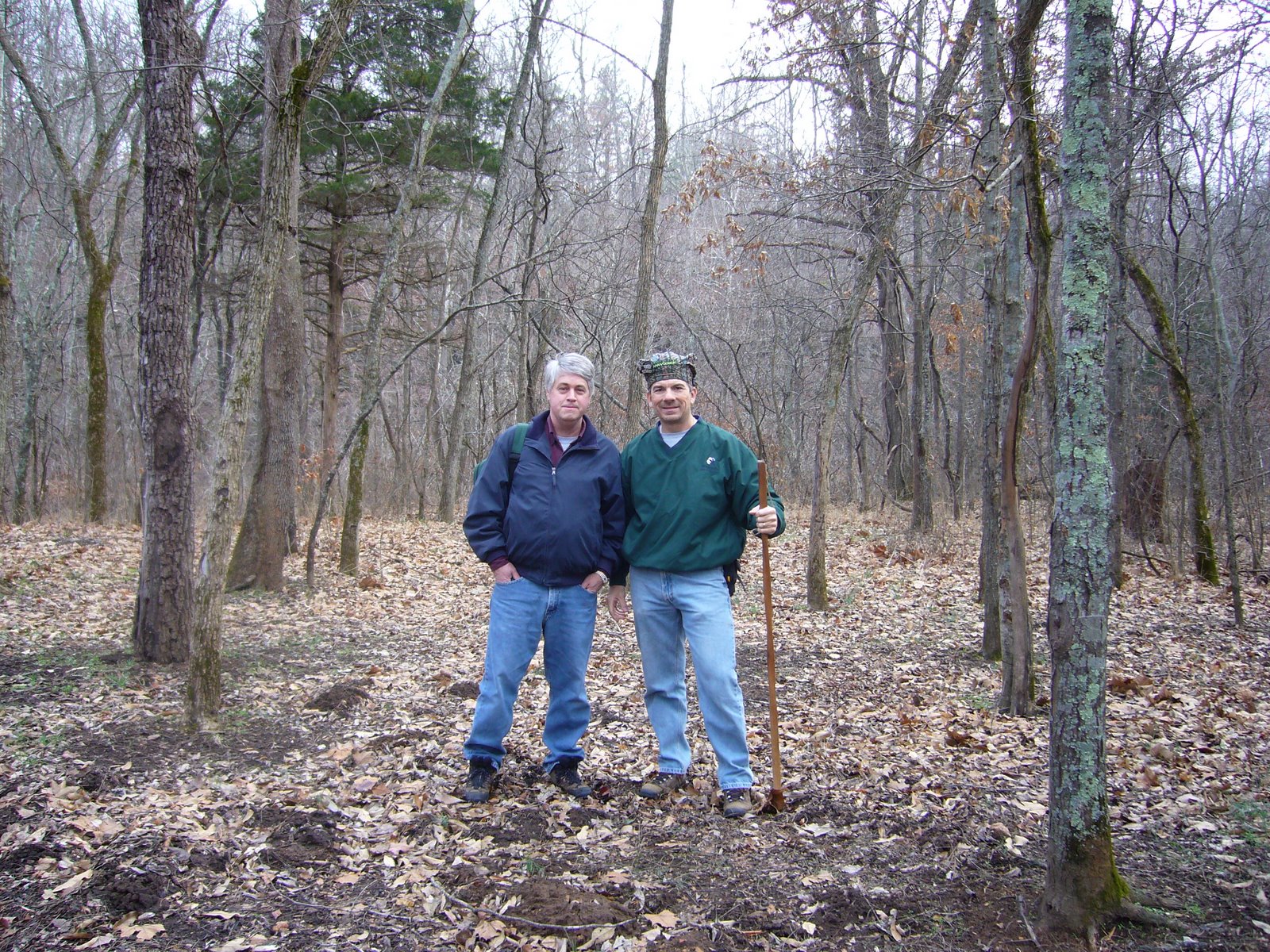
But back to Saturday’s hike. We started at Hazel Creek with mild temps and cloudy skies but no precip in the forecast. We talked briefly to a mountain biker with a 29er who took this photo of us:


These cabin remains lie in the campground at the trailhead – those are sandstone blocks which I suppose must have been transported from the Lamotte formations some 30 miles to the east near Ste. Genevieve.


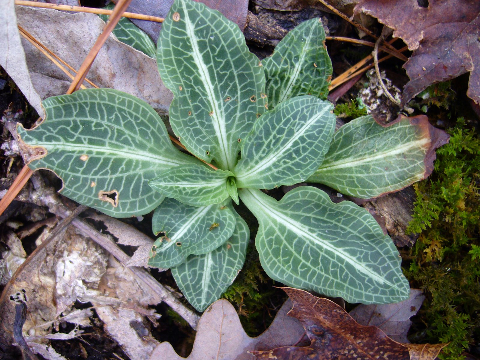
There was much to see in the vicinity of Hazel Creek. As an orchid enthusiast, I was pleased to find these Adam and Eve orchids (Aplectrum hymenale), also known as puttyroot, growing in healthy numbers on the hillside above the valley. The single leaf of this unusual plant is dusky grey-green in color, deeply creased and looking like crepe paper. They appear in late summer and persist until the plant flowers the following spring.


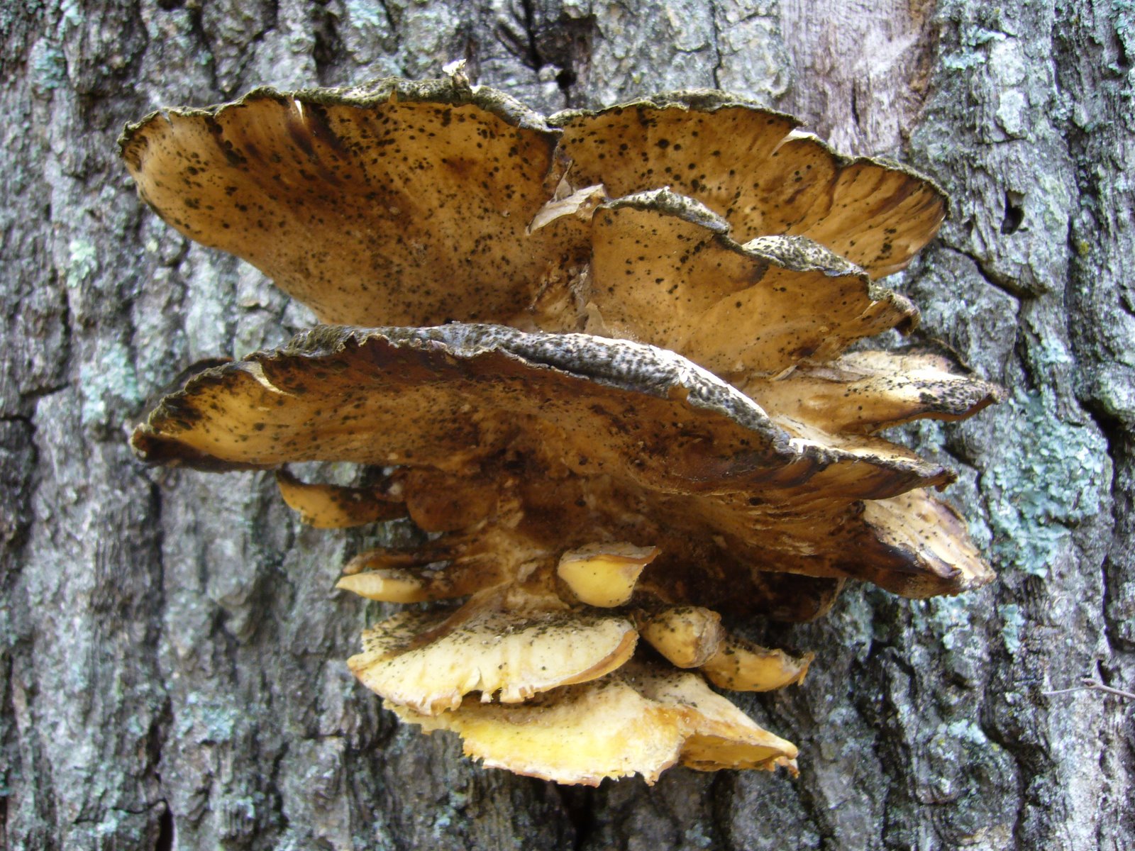
Another of the shelf fungi was found growing on the trunk of a large, dead deciduous tree.


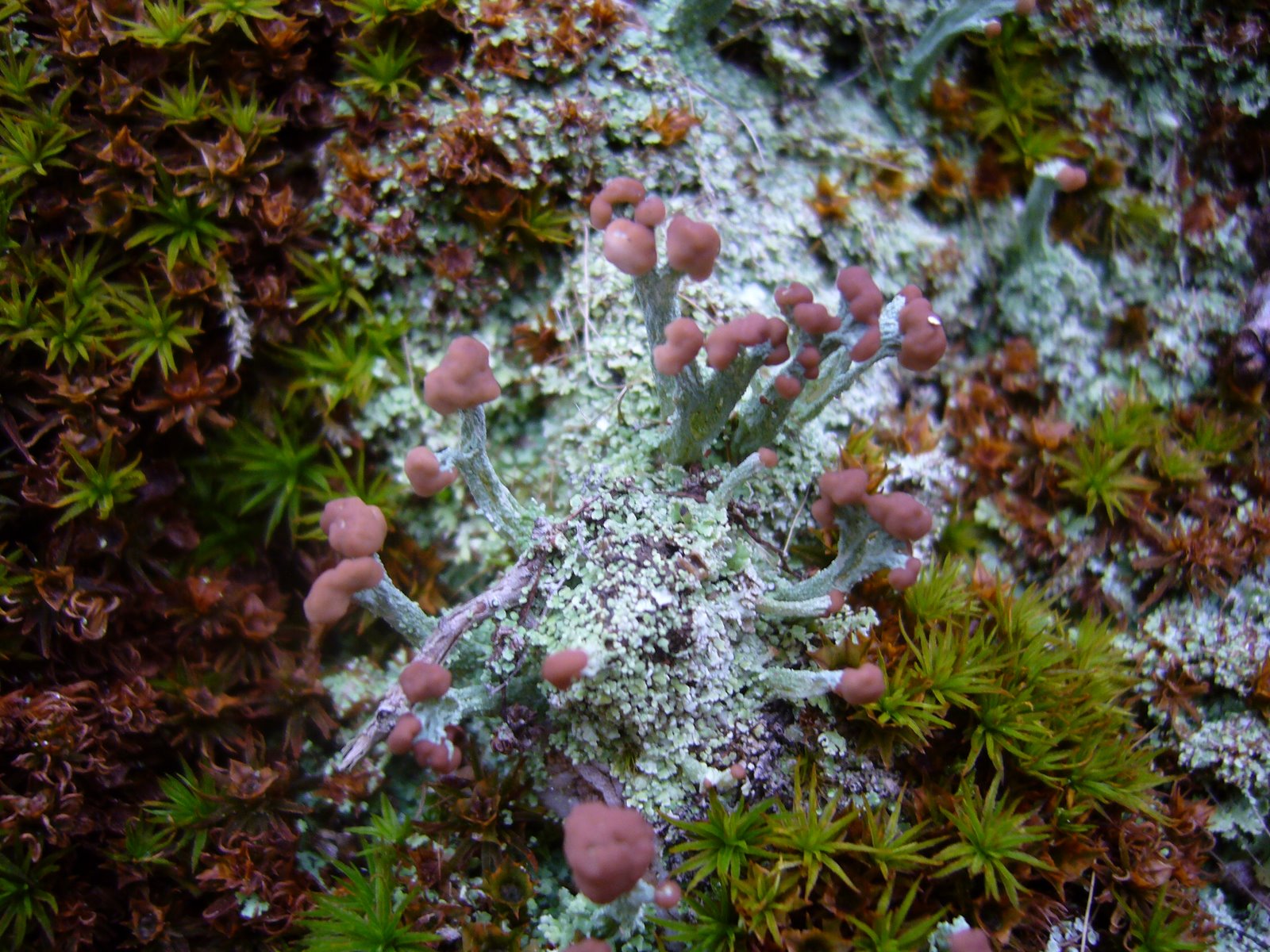
My preoccupation with lichens continues. This colony of British Soldiers (Cladonia cristatella) was found growing in trailside rocks. This lichen is named for its resemblance to the uniforms worn by English soldiers during the Revolutionary War, although the spore-producing reproductive structures are not the brilliant red color as seen during the summer. Lichens are not plants, or even a single organism, but instead a symbiotic association between an alga (in this case, Trebouxia erici) and a fungus (in this case, Cladonia cristatella). Lichen scientific names are derived from the fungus part of the relationship.


Puffball mushrooms have been a favorite of mine since I found my first colony during childhood and delighted in watching the ‘smoke’ fly as I slapped them with my hands. These days I’m satisfied to just look at them (and maybe poke one or two).


The term “puffball” actually refers to a polyphyletic assemblage of fungi distributed within several orders in the division Basidiomycota. I’m no expert (or even a novice), but I wonder if these apparently mature individuals might represent the pear-shaped Morganella pyriforme, a saprobic species that is considered a choice edible while still young. Please leave a comment if you know its identity.


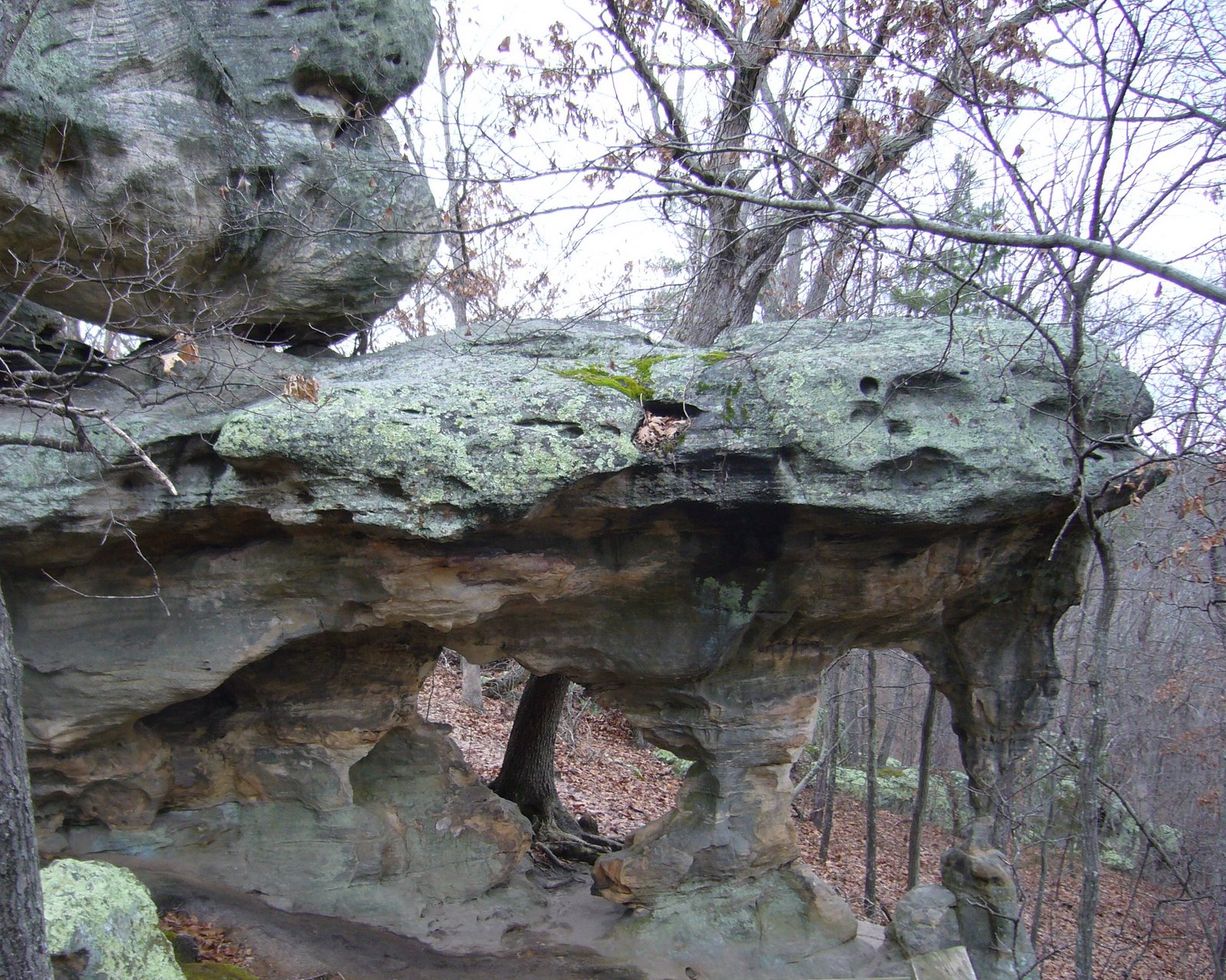
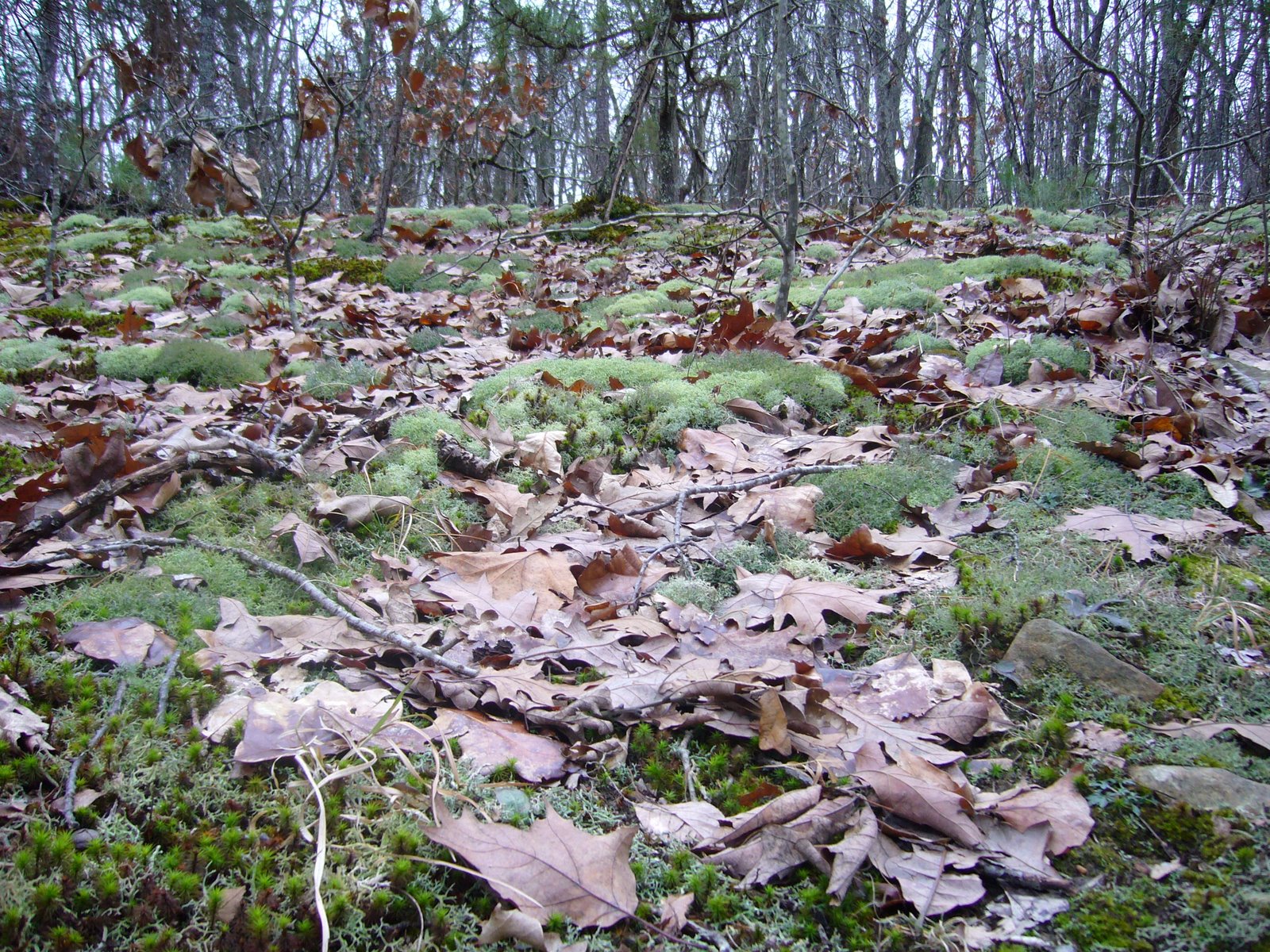
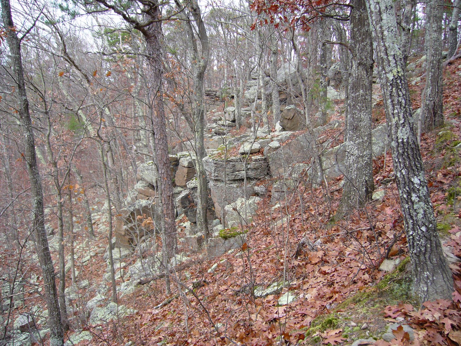
The trail was not particularly rugged but traversed across a number of ridges between the Hazel Creek and Trace Creek valleys. The bedrock was mainly chert, and along the trail we saw this quartz formation with its intricately formed interior exposed.


Approaching Trace Creek, this fireplace and chimney were all that remained of what was probably once a cozy little homestead. Obviously this house had not been constructed of sandstone blocks like the one at Hazel Creek. On each side of where the house once must have been stood two grand, old sugar maple trees (Acer saccharum) – we speculated they had been planted by the former residents and wondered what life was like in this isolated little part of the Ozarks back in the day.


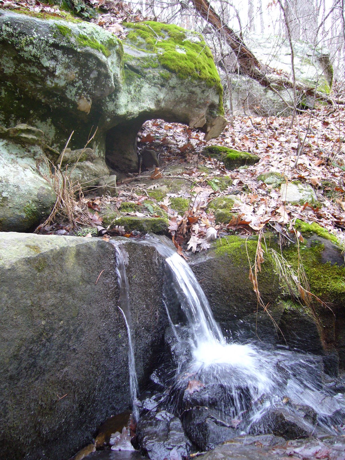
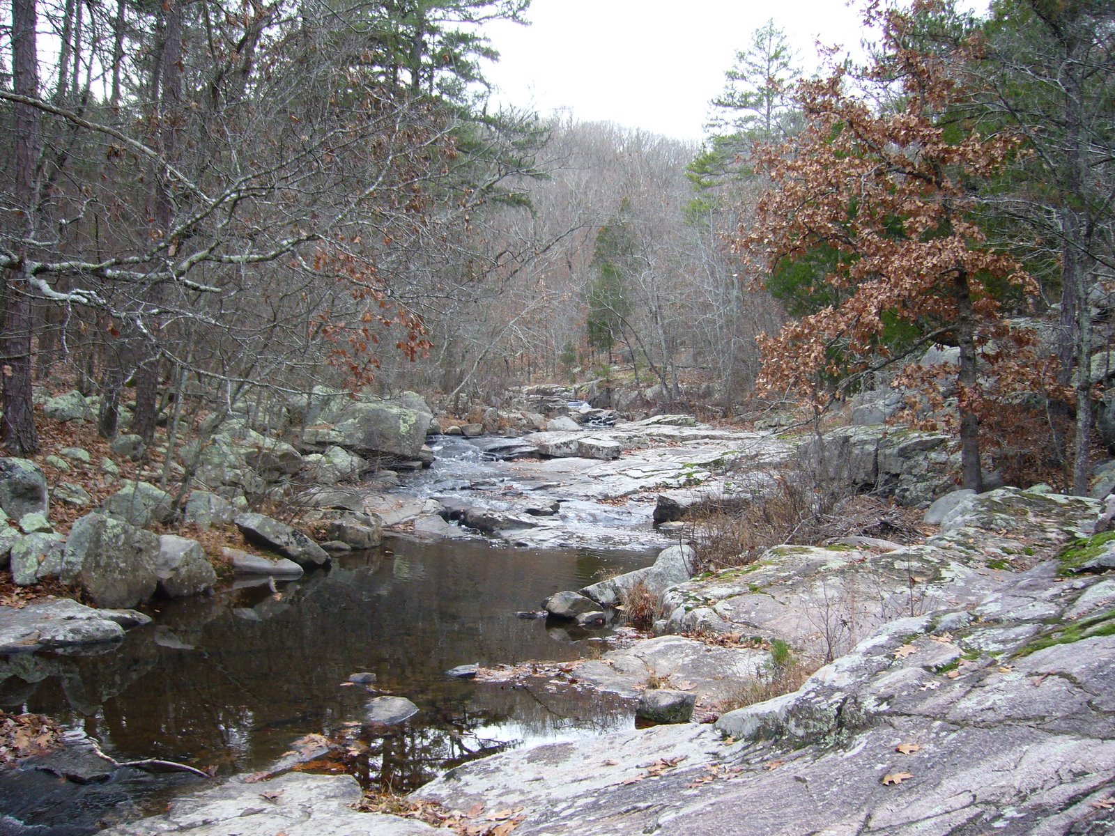
We reached the trails namesake, Trace Creek, about halfway through our hike, and by this time we were the Ozark Trail’s newest 200-mile veterans. It was a pretty little valley, and we stopped here for a bit to eat and rest. Adam and Eve orchids were plentiful here, and in looking for them I became surprised to notice how large a variety of green, herbaceous plants one can find in these deciduous forests during the winter, especially in the lower elevations (moister?).


On these hikes, it has become customary to ‘push over’ trees – dead trees, that is. The larger the better, but of course the larger they are the ‘deader’ they must be for us to be able to push them. I did not push over a single tree on my previous hike of the lower Trace Creek Section, so I made up for it this time and found three trees to push over. Here, Rich finds out what all the fun is about:

The final miles of the hike became more difficult, as my sore throat and congestion combined with the miles started taking their toll on me. We finished our hike at the Hwy DD crossing after 7 hrs of hiking, portaged back to the other car, and met up in Sullivan for our traditional post-Ozark Trail hike pizza dinner.

Pickle Springs Natural Area

Pickle Springs Natural Area lies in Ste. Genevieve County, about an hour south of St. Louis. Like Hawn State Park, the geology of this area and its effect on the flora have resulted in a unique collection of geologic features and plants found in few other places. The Lamotte sandstone outcrops that dot the landscape were formed nearly half a billion years ago when sand deposited in an extensive maze of braided river channels was cemented and buried under younger layers of limestone and dolomite formed from deposits on the floors of ancient seas that covered the interior of the continent. Later, the periods of uplift that created the St. Francois Mountains and resulting erosion of overlying strata once again exposed the sandstones at the surface. Millions of years of water, ice, rain, wind, and plants have further shaped the exposed sandstones, creating fanstastic shapes and formations and cool, deep canyons. The weathered sandstone created acid soils which support many unique plants. During the ice ages, northern plants and animals moved into the area ahead of the advancing glaciers. Mammoths roamed the landscape grazing on the northern vegetation supported by the area’s acid soils. Eventually the ice retreated, and so did the mammoths. But many of the plants remained – able to hang on in the cool, moist canyons long after the mammoths that once roamed these canyons disappeared. Because of this unique concentration of rare plants and geologic features, the area has been designated a Missouri Natural Area and a National Natural Landmark.

Yesterday I hiked the aptly-named ‘Trail Through Time’ with my family. This 2-mile trail is one of the most “feature-packed” trails in the state, with something to look at around almost every bend. Almost immediately the trail leads to the Slot, the result of a vertical fracture in the Lamotte sandstone that was loosened by leaching and then widened by erosion. The unique partridge berry (Mitchella repens) was seen on the moist, vertical walls of the rock, growing among strange holes, pockets, and ridges that formed as a result of the sand grains being variably cemented.


A short distance from The Slot lie Cauliflower Rocks – large moundlike formations (also called hoodoos or rock pillars) formed from jointed or fractured sandstone that undergoes deep solutional weathering followed by erosion and weather-mediated shaping. Hoodoos occur primarily in this type of rock due to its granular, variably cemented and cross-bedded matrix.


On the south side of Cauliflower Rocks lies a special type of buttress arch called Double Arch. It occurs at almost a right angle to the adjacent rock outrcrops, suggesting formation along a set of fractures running perpendicular to the main fracture trend of the area, but the precise details of its formation remain a mystery.


After leaving Cauliflower Rocks the trail descends steeply into a deep valley, at the bottom of which lies Pickle Creek just below its origin in a box canyon south of the Natural Area. Lush vegetation in this cool, moist valley contrasts with the stark rocks seen earlier.


The creek is fed by a series of seeps, allowing the valley to remain moist even during the dry summer months, and along with the acid soils support a unique plant community. Lush colonies of ferns (I believe this is Polypodium virginianum L.) covered the rocks adjacent to the creek…


…while this rattlesnake plantain orchid (Goodyera pubescens) was seen in a colony growing at the base of a black oak tree (Quercus velutina) just above the creek.


Mosses and lichens were also abundant in the valley. This little hair cap moss (Polytrichum sp.) with its distinctive fruiting structures was growing in a colony at the base of another black oak tree. The members of this genus prefer acidic environments.


Further ahead, along Bone Creek, several colonies of wooly aphids (family Aphididae) were seen on the branches of a small hop hornbeam tree (Ostrya virginiana).


The highlight of the hike had to be in Spirit Canyon at Owl’s Den Bluff. The horizontal layers of sandstone, each deposited on the steep downstream slopes of sandbars, are clearly visible in the towering bluff face. At the bottom lie bluff shelters – formed where lower sandstone layers collapse due to weathering or leaching, and where native Americans almost surely camped out. The sun never reaches parts of these shelters, providing ideal conditions for a variety of mosses and liverworts – many of which are known only from this area. Fallen boulders and collapsed portions of the bluff face provided photo opps for the daring…


…and good exploring for the nimble.


By now, the trail has passed the halfway point and is looping back to the west, where it ascends to Dome Rock Overlook. Along the way, a fascinating variety of lichens, including reindeer lichen, covers the forest floor where they are supported by the acid soils.


Dome Rock Overlook is a the largest hoodoo complex in the Natural Area. The thin soils and exposed conditions create a harsh, dry, windswept environment that only the hardiest of plants can withstand. Only a few small blackjack oaks (Quercus marilandica), shortleaf pines (Pinus echinata), and farkleberry (Vaccinium arboreum) survive here. Despite their small size, some of the trees growing here are at least 150 years old.


The trail descends from Dome Rock Overlook and passes underneath, providing spectacular views of the sheer rock face below the overlook. The trail completes its descent back into Pickle Creek Valley, where Pickle Spring can be seen. This small, permanent spring – an unusual feature in sandstone where seeps are more common – was an important source of water for early settlers.


Further along the trail lies one of the areas most unusual features – Rockpile Canyon – formed some 50 years ago (a fraction of a second in geologic time) when part of a sandstone bluff collapsed in a rumble, leaving behind a sheer bluff face and a jumbled pile of large boulders. A short spur in the trail leads to the head of a small box canyon, where some of the 20+ ice age relict plant species can be seen growing in the acid soils and cool, moist canyon walls.

Near the end of the loop lies Piney Glade, an area where the exposed sandstone bedrock once again creates a dry, harsh environment. Poverty grass and little bluestem grow in small, shallow pockets of soil scattered amongst stunted shortleaf pines and blackjack oaks – creating a small prairie surrounded by a sea of forest. All three forms of lichens can be found on the rocks and soils of the glade – the aptly named crustose lichens cling tightly to rock surfaces amongst foliose (leafy) and fruticose (branched) lichens.

Rockwoods Reservation, Lime Kiln Loop Trail

Rockwoods Reservation, in western St. Louis Co. is one of the oldest Conservation Areas in Missouri (est. 1938). It contains nearly 2,000 acres of high quality upland forest and a small prairie restoration plot. Despite its proximity to St. Louis and the numerous hiking trails it offers, I haven’t explored this area very much. We had a winter storm move through the area yesterday, dumping about 7 inches of snow over the area. Deep snows are not common in St. Louis, which typically has more open winters, so today offered the perfect opportunity to start exploring this area in a rare wintery setting. My daughters came with me to explore the 3.25-mile Lime Kiln Loop Trail.


The first half mile of the trail follows alongside a spring-fed creek. As we enjoyed the serenity of the snowy landscape, a belted kingfisher flew into a nearby tree, where it paused briefly before zipping off in a chatter. The spring itself offered a beautiful contrast between the green aquatic plants that populate the spring’s exit and the surrounding white blanket.


After the spring, the trail started traversing up the hillside into a mesic upland forest dominated by oaks and hickories. The high canopy of this mature forest resulted in a sparse understory, affording spectacular views back down through the draws from which we came.


The girls were full of energy at this point, so they kept running ahead on the trail and then waiting for me to plod my way back up to them. Eventually they learned their lesson though – everytime they ran up ahead they would get hot and want to take their coats off, then they would get cold and have to put them back on.


There were some drier forest types closer to the bluffs where eastern red cedar (Juniperus virginiana) became more abundant. I coaxed them to pass underneath this one, then whacked it with my hiking stick as they did so. Shocked indignation soon gave way to tenacious efforts on their part to ‘get me back’. Failing that, they redirected their efforts to ‘getting’ each other.


The games eventually gave way to quiet enjoyment of the astounding beauty of the forest. Existing tracks in the snow told us we were not the first to enjoy the trail today, but we didn’t see a single soul all day – it was easy to pretend that we were the only people in this wood. These snow-covered, hollow tree stumps reminded us of tubular sponges.


As the trail descended back down into the valley it passed through these dolomite outcrops supporting a dry upland forest dominated by eastern red cedar and blackjack oak (Quercus marilandica).


Near the end of the trail, we ran across this little spider – actively crawling on the surface of the snow with temps in the mid-20s. I half-jokingly suggested that maybe this was some kind of ‘snow spider’. My 8-yr old daughter thought that seemed likely, then suggested that when we got home we could get online and go to http://www.spider.com/ and type ‘snow spider’ to see what it said. I told her I thought that was a great idea! Alas, that website (and http://www.spiders.com/) lead to a couple of IT company websites, so that was no help. Fortunately, I was able to find something that looked similar – a wolf spider in the genus Gladicosa – on BugGuide. I told Madison her suggestion worked 😉


The lime kiln for which this trail is named was built in the mid-1800’s by a wealthy businessman, who used it to produce lime for mortar construction of homes in nearby St. Louis. The kiln, 12-ft wide at the base and 40-ft high, was built next to the hillside to allow limestone (quarried nearby) to be dumped in at the top. Locally cut firewood was loaded into the arches at the bottom on each side, which heated the kiln to 800°F, converting the stone to lime which was removed from the opening at the bottom in front. Vertical expansion joints on each side in the center allowed for expansion of the stone during heating.


This was the second hike in the past few weeks that I’ve taken with the girls, and like last time they had an absolute ball! Of course, naturalist that I am, it pleases me that they enjoy the outdoors so much, and I’m quite impressed that they hiked such a distance with no complaint. The area offers several additional hiking trails ranging from 1.5 to 2.2 miles in length. At only a 15-minute drive from our house, I look forward to exploring the rest of Rockwoods trails with them.

Ozark Trail, lower Trace Creek Section

The Ozark Trail is a part of a vision, conceived in 1977, to build a scenic and varied route through the Missouri Ozarks, stretching from the St. Louis metropolitan area southwestward to the Arkansas border, eventually connecting to the Ozark Highlands trail–creating a 700 mile through-trail. Almost 550 miles of trail have been completed, with 350 miles in Missouri.
Ozark Trail Association

My friend Rich and I have been hiking sections of the Ozark Trail for several years now. So far, we have completed ~175 miles, and we hope to eventually hike the entirety of the trail. Yesterday we hiked the 11.5-mile southern stretch of the Trace Creek Section, starting at the Hwy DD crossing in Iron Co. and finishing at the Hwy A trailhead, where the Trace Creek Section joins the Bell Mountain portion of the Taum Sauk Section. The first few miles traversed relatively mild terrain as we followed the Telleck Branch, but after crossing the upper reaches of the Big River the terrain became progressively more rugged. The trail ended with a spectacularly steep descent down to Ottery Creek at the foot of Bell Mountain.

It was a gray day with light drizzle and increasing fog. The air was heavy with moisture, but with temperatures in the upper 30s and only light winds it didn’t feel too cold. While many sections of the Ozark Trail offer spectacular vistas overlooking the regions many spring-fed rivers, few such vistas are found on this section. What we did see were bright green lichens on rocks, on oak trunks, and on the ground underneath pines, small openings in the forest eerily shrouded in fog, and a variety of ferns along stream banks and in rock crevices, dripping with moisture. It rained lightly at one point, forcing us to break out our ponchos, but the rain didn’t last and we were able to stow the ponchos for good afterwards. It was a serene, beautiful experience with not another soul in sight during the entire day. The solutide contributed as much to the splendor as did the visual beauty. Following are some pictures from the day:

A foliose lichen plasters the surface of a rock outcrop

Closeup of the above, showing an highly convoluted 3-dimensional structure

I believe this is type of “reindeer lichen” – Cladina sp. – growing in a colony on sandy soil underneath a pine tree

Close up of the above, showing the intricacies of its fruticose structure

Water hangs heavy from leafless petioles of a downed oak tree

One of the shelf or crust mushrooms, growing on the trunk of an oak tree

Closeup of the above

Hawn State Park

Hawn State Park, located at the eastern edge of the St. Francois Mountains near Ste. Genevieve, is one of Missouri’s premier parks. Spring-fed streams meandering through stately pine and oak forest have cut deep into Lamotte sandstone bedrock to create canyon-rimmed valleys with tall vertical cliffs. In some areas the streams have exposed underlying igneous rock to create “shut-ins” where water rushes through granite outcrops. This diversity of rock exposures has resulted in a diverse and unique flora, with many of the park’s 660 species of trees, shrubs, ferns, and wildflowers known from nowhere else in the state.

I first visited Hawn some 25 years ago. It quickly became one of my favorite spots for insect collecting and hiking. While most of my insect collecting activities now take place outside of Missouri, it remains one of my favorite places to hike. The 1-mile Pickle Creek Trail follows the lower banks of the stream, offering beautiful views of the sandstone cliffs and granite shut-ins, while the 6-mile north loop of the Whispering Pine Trail traverses the upper bluffs and through the 2,080-acre designated wilderness area. A 4-mile south loop can be added onto the north loop to create a spectular 10-mile hike. I have hiked these trails many times throughout the years, though not recently, and my daughters Mollie (11) and Madison (8) had never been there, so I decided it was time to return for a family day trip.

Pickle Creek flows through igneous granite “shut-ins”

The girls take a break while ascending to the bluffs

Lamotte sandstone cliffs overlooking Pickle Creek

The best views from the cliffs are during winter, while in spring the area abounds with native azaleas

An old tree root wad along Pickle Creek