The Ozark Trail is a part of a vision, conceived in 1977, to build a scenic and varied route through the Missouri Ozarks, stretching from the St. Louis metropolitan area southwestward to the Arkansas border, eventually connecting to the Ozark Highlands trail–creating a 700 mile through-trail. Almost 550 miles of trail have been completed, with 350 miles in Missouri.
– Ozark Trail Association
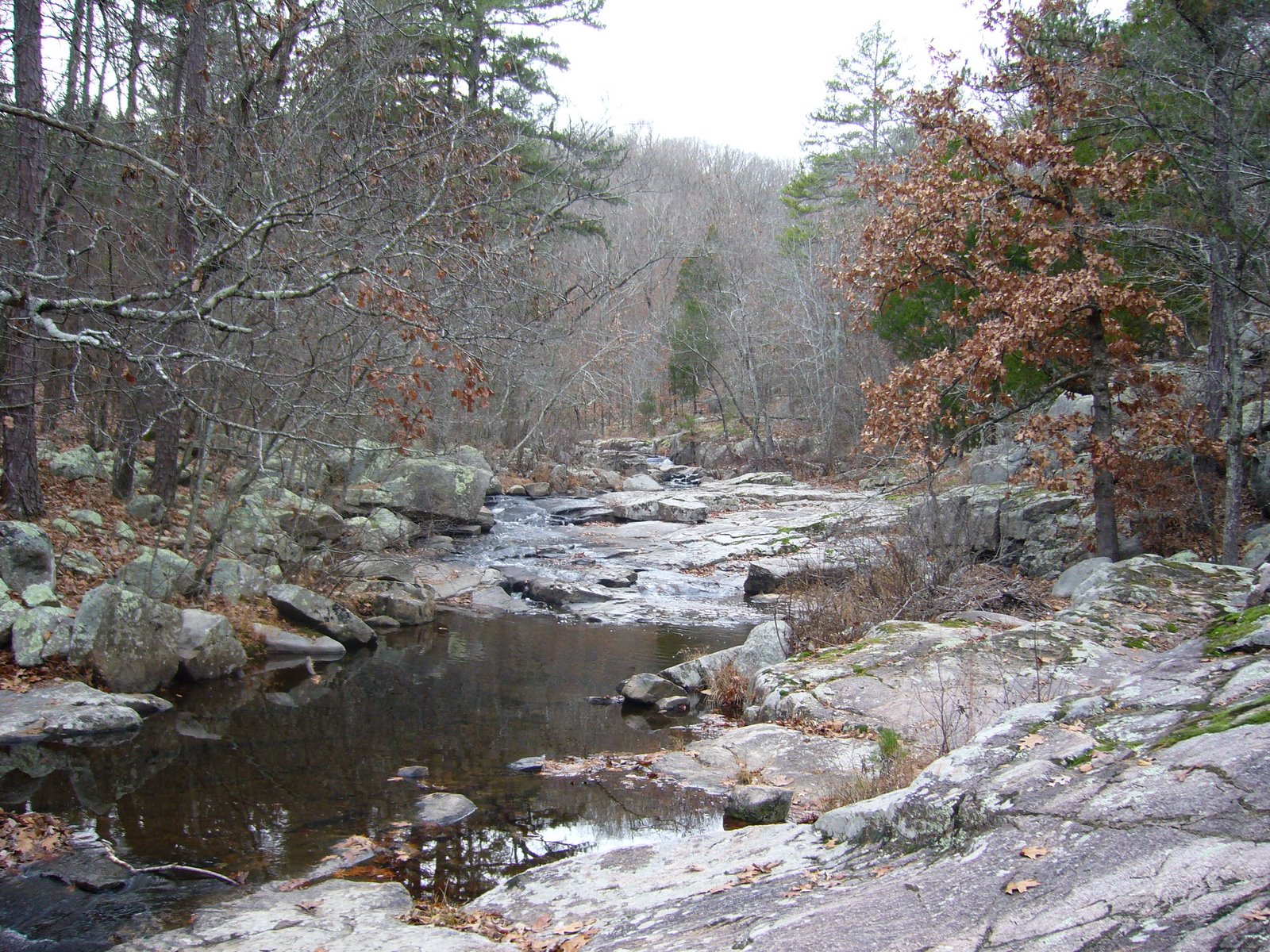
My friend Rich and I have been hiking sections of the Ozark Trail for several years now. So far, we have completed ~175 miles, and we hope to eventually hike the entirety of the trail. Yesterday we hiked the 11.5-mile southern stretch of the Trace Creek Section, starting at the Hwy DD crossing in Iron Co. and finishing at the Hwy A trailhead, where the Trace Creek Section joins the Bell Mountain portion of the Taum Sauk Section. The first few miles traversed relatively mild terrain as we followed the Telleck Branch, but after crossing the upper reaches of the Big River the terrain became progressively more rugged. The trail ended with a spectacularly steep descent down to Ottery Creek at the foot of Bell Mountain.
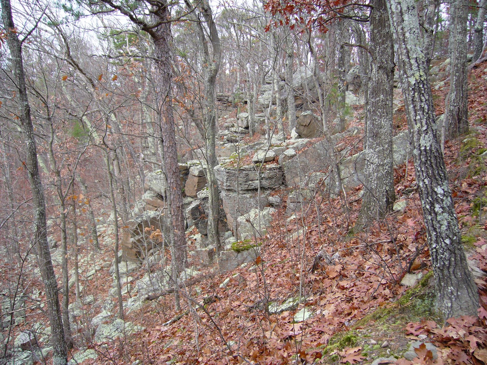
It was a gray day with light drizzle and increasing fog. The air was heavy with moisture, but with temperatures in the upper 30s and only light winds it didn’t feel too cold. While many sections of the Ozark Trail offer spectacular vistas overlooking the regions many spring-fed rivers, few such vistas are found on this section. What we did see were bright green lichens on rocks, on oak trunks, and on the ground underneath pines, small openings in the forest eerily shrouded in fog, and a variety of ferns along stream banks and in rock crevices, dripping with moisture. It rained lightly at one point, forcing us to break out our ponchos, but the rain didn’t last and we were able to stow the ponchos for good afterwards. It was a serene, beautiful experience with not another soul in sight during the entire day. The solutide contributed as much to the splendor as did the visual beauty. Following are some pictures from the day:
 A foliose lichen plasters the surface of a rock outcrop
 Closeup of the above, showing an highly convoluted 3-dimensional structure
 I believe this is type of “reindeer lichen” – Cladina sp. – growing in a colony on sandy soil underneath a pine tree
 Close up of the above, showing the intricacies of its fruticose structure
 Water hangs heavy from leafless petioles of a downed oak tree
 One of the shelf or crust mushrooms, growing on the trunk of an oak tree
 Closeup of the above